
Gusts will blow up to 35 MPH.
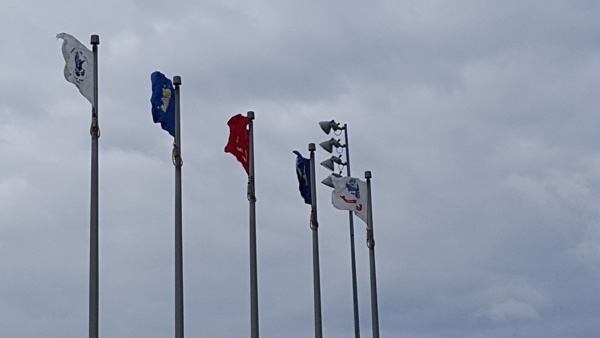
Flags on the Lawrenceburg Levee. File photo.
(Lawrenceburg, Ind.) - It will be warm and windy to start the weekend.
The National Weather Service says there is an enhanced fire risk Friday, when temperatures will peak in the upper 70s.
Winds will consistently blow between 15 and 25 MPH, with gusts up to 35 MPH this afternoon. Meteorologists are urging people to refrain from any outdoor burning today. With the lack of green vegetation, these winds will lead to an increased threat of fire growth and spread.
Winds should due down Friday evening with an overnight low of 61 and a slight chance of showers.
Saturday’s high will reach around 73, but showers are likely into Sunday, when the high will be around 60.
A chance of snow flurries exists Sunday night and Monday morning.
Dry conditions and gusty winds will raise the risk of fire danger for this afternoon. Winds will diminish by the evening hours. pic.twitter.com/32DazVG2fW
— NWS Wilmington OH (@NWSILN) April 12, 2018
 Dearborn Community Foundation in Top Philanthropic Tier Nationally
 Emergency Responders Called to Serious Accident in Sunman
 Gov. Braun Awards Matching Infrastructure Funds to Hoosier Communities
 Celebrate the Country’s 250th with Indiana State Parks
 Gov. Braun and State Fire Marshal Encourage Hoosiers to Practice Firework Safety
 Genesis Campers Explore Future Careers


Comments
Add a comment