
Up to two inches of rain could come down.
(Lawrenceburg, Ind.) - With plenty of rain in the forecast, there is a flash flood watch in effect for the tri-state Monday.
The watch will continue through Monday evening. According to the National Weather Service, the region could see up to two inches of rainfall, which could cause creeks and streams to rise quickly.
Monday’s high will reach 72. The overnight low will fall into the mid-60s.
Rain will remain in the forecast through Wednesday morning, with Tuesday bringing perhaps an even more heightened risk of flooding. Thunderstorms will also be possible during the early part of the week.
Moisture lifting north over a stalled front will bring increasing showers and some thunderstorms. Some of this rain could become heavy, and may produce flooding and high water issues. pic.twitter.com/n8JZTnsE5R
— NWS Wilmington OH (@NWSILN) September 24, 2018
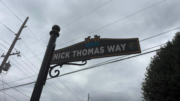 City of Lawrenceburg Unveils Nick Thomas Way
 Lawrenceburg 4-Year-Old Competing for National Toddler of the Year
 Charges Filed After Decatur Co. Pursuit, Batesville Manhunt
 Magic and Education at Red Wolf Sanctuary
 Big Rigs Make Wishes Come True
 Trooper Larry Noah Retires after 25 Years of Service


Comments
Add a comment