Area residents may notice a large commercial drone flying over the levee area.
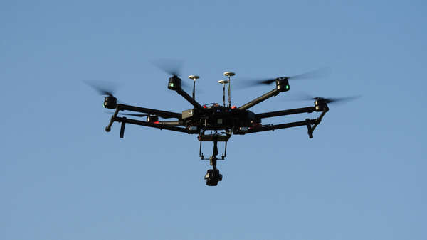
Shutterstock photo.
(Greendale, Ind.) - City of Greendale residents may notice a large commercial drone flying over the city limits as soon as next week.
Mike Hrezo, of Hrezo Engineering tells Eagle Country 99.3 that two drone flights will take place next week covering 600 acres of land in Greendale.
Hrezo Engineering is working with J&T Engineer and the Lawrenceburg Conservancy District to complete a LIDAR topography and drainage study, which is a key component for FEMA certification of the Greendale levee.
The drone flights will cover the entire levee area along U.S. 50 to the Interstate 275 and U.S. 50 interchange. One flight will focus on photographing the land, while a second flight will complete LIDAR topography.
Drone operator Dave Wingate says the drone will fly approximately 180 feet in the air, and will in no way violate the privacy of area residents.
The drone flights are weather dependent.
 Maxwell Achieves Perfect Voting Record in Senate
 Golf for a Great Cause: A Round for Regan Set for June 27
 Batesville Singers Compete at State Show Choir Finals
 Gov. Beshear Signs Legislation to Protect Kentuckians from Severe Weather
 Design Changes Made to Dry Fork Road Bridge Rehab Project
 Dearborn Co. Chamber Business Breakfast Set for April 30