
High temperatures will reach near 70 Thursday, but we'll pay a price.

Update published at 11:47 a.m.:
Some severe weather is possible Thursday. The National Weather Service has the tri-state under a Tornado Watch until 5:00 p.m.
Some severe storms moving through the region could bring an isolated tornado or some hail.
Damaging winds may also blow through with gusts up to 50 MPH. A Wind Advisory is in effect until 8:00 p.m.
[1050 AM] A tornado watch has been issued for parts of the @NWSILN area, including southeast Indiana, northern Kentucky, and southwest Ohio until 5 PM EDT. Further watches are expected to the east later today. pic.twitter.com/j9jXjyXTCB
— NWS Wilmington OH (@NWSILN) March 14, 2019
Original story published at 7:17 a.m.:
(Lawrenceburg, Ind.) - Winds will gust up to 50 MPH Thursday.
The National Weather Service says a Wind Advisory will be in effect for the tri-state from 11:00 a.m. until 8:00 p.m.
Winds will blow consistently between 15 and 25 MPH, with stronger gusts. Some scattered tree and power line damage is possible.
With a high temperature around 70, severe storms will be possible in the afternoon. The storms could include hail or tornadoes.
In addition to the wind and storms, some areas may also receive up to an inch of rain Thursday.
Here is when you can expect the greatest chance for severe weather to arrive today. pic.twitter.com/f7BbsUCxiZ
— NWS Wilmington OH (@NWSILN) March 14, 2019
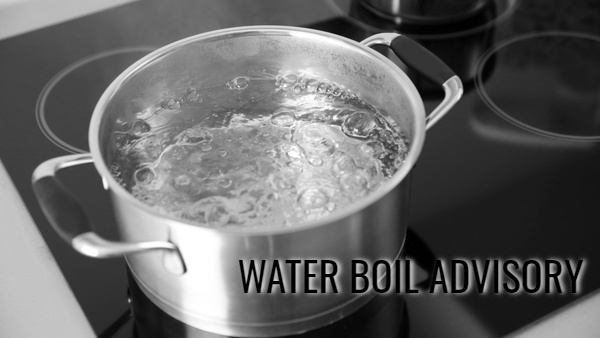 Franklin Co. Water Department Issues Boil Water Advisory
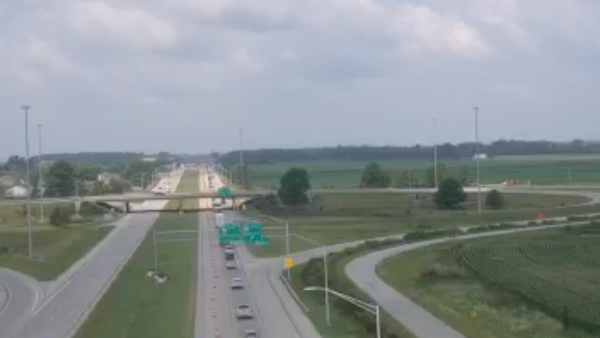 Semi Rollover Reported on I-74
 Structure Fire Reported on Ridgewood Court in Lawrenceburg
 Greendale Vacuum Truck Overturns at Georgetown and State Road 1
 Eagle Photo Snapped by Carson Hughes on Display at Indy Airport
 Two Juveniles Arrested for Vehicle Tampering


Comments
Add a comment