More snow and sleet is forecast for Monday morning and afternoon.

Shutterstock photo.
(Wilmington, Oh.) - More snow and sleet is in the forecast for Monday.
A Winter Storm Warning remains in effect for the entire tri-state area until midnight.
According to the National Weather Service, heavy mixed precipitation with additional snow and sleet accumulations between two to four inches and ice accumulations up to one tenth of an inch possible.
The timeline for the additional precipitation is from 7:00 a.m. to 2:00 p.m.
Motorists should plan on slippery road conditions.
In addition to snow and sleet, temperatures are bitter cold with a high of 29. The low Monday night is 9 degrees.
RELATED: Local Travel Advisories
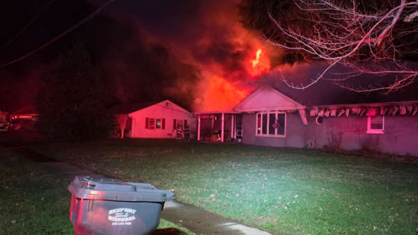
 Home Fire on Ridge Avenue
 Missing 9-Year-Old Found Dead
 Canaan Boy Dies, Parents Injured When Tree Falls on Home During Storm
 Switzerland Co. BPA Shines at State Leadership Conference
 Utility Construction Project Begins in Aurora
 No Injuries in Versailles Fire