A Cold Weather Advisory has also been issued.
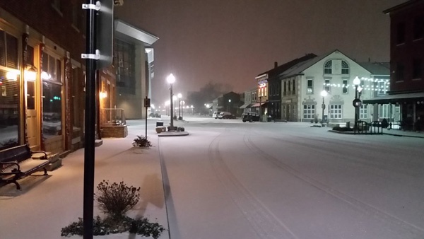
(Wilmington, Oh.) - A Winter Storm Watch has been upgraded to a Winter Storm Warning for the tri-state area.
According to the National Weather Service, the Winter Storm Warning goes into effect Saturday at 10:00 a.m. and will run until Monday at noon.
Heavy mixed precipitation is expected. Total snow accumulations between 8 and 12 inches and ice accumulations around a tenth of an inch are expected in southeast Indiana, northeast and northern Kentucky and south central and southwest Ohio.
Impacts include travel being very difficult to impossible. The hazardous conditions could stretch into the Monday morning commute.
If you must travel, keep an extra flashlight, food, and water in your vehicle in case of an emergency. In Indiana, visit 511in.org or call 1-800-261-7623 for the latest road information. In Kentucky, visit goky.ky.gov for the latest road information. In Ohio, visit ohgo.com for the latest road information.
Along with the projected snow and ice is freezing temperatures. A Cold Weather Advisory is in effect from 6 PM this evening to noon Saturday.
Very cold wind chills as low as 12 below zero expected. The cold wind chills as low as 10 below zero could result in hypothermia if precautions are not taken. Dress in layers including a hat, face mask, and gloves if you must go outside.
 South Dearborn Middle School Teacher Receives Grant from Retired Teachers Foundation
 Whitewater Canal Historic Site Receives Commitment for $7 Million Matching Grant
 Gov. Braun: ISP, National Guard, and INDOT Crews Stand Ready to Assist
 Thomas is District 9 Officer of the Year
 New Study Finds Ohio Below National Average for Distracted Driving
 Kentucky Snowfighting Crews Preparing for Weekend Winter Storm