
Frostbite will continue to be a concern for anybody remaining outside for an extended period of time.
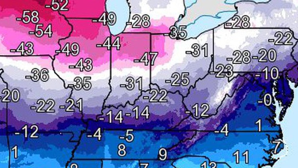
Lowest wind chills recorded Wednesday, January 30. National Weather Service image
(Lawrenceburg, Ind.) - Thursday will be another day of record cold temperatures freezing the tri-state.
Temperatures in the morning bottomed out at about -5 due to Arctic air forced into the region by a polar vortex. The wind chill could have it feeling like -20 at times. A Wind Chill Advisory remains in effect until 1:00 p.m. Thursday.
Some schools will be back on normal schedules Thursday. Most others announced delays or closures by Wednesday afternoon in anticipation. Find a full local list of closings and delays here.
The City of Harrison has opened a public warming center at the Harrison Community Center for those in need of emergency shelter.
Another morning of sub-zero temperatures will start another busy day for Triple-A. The auto club says they've had a major uptick in calls for help since temperatures started to plummet this week. Most drivers are calling to get dead batteries jump-started. Auto club members are urged to be patient if they do have a problem because of the increased number of calls.
There are signs of better weather ahead. The Anderson Ferry has resumed operations Thursday morning. Perfect North Slopes will reopen at 9:30 a.m. after operations were suspended Wednesday.
A relative heat wave is coming this weekend. The tri-state could flirt with temperatures near 60 on Sunday.
[7:22 PM] A reminder that just because the Wind Chill Warnings were downgraded to Wind Chill Advisories in four Indiana counties & seven Ohio counties in no way mean that it's still not going to be cold, & that you'll still need to take precautions. pic.twitter.com/0xbEn6VWlT
— NWS Wilmington OH (@NWSILN) January 31, 2019
 Essick Named Assistant Principal at Batesville Intermediate School
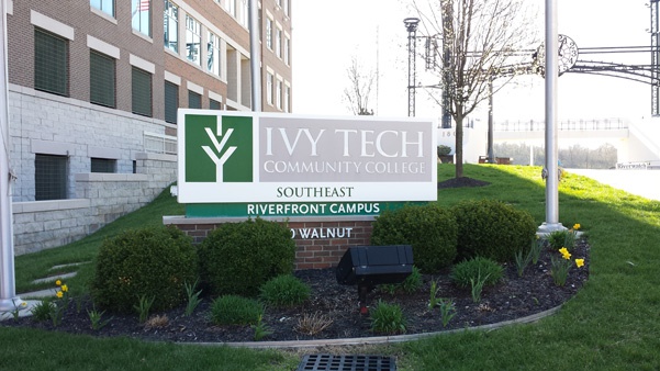 Student Excellence Shines as Ivy Tech Lawrenceburg Earns Prestigious Honor
 Local Governments Made Whole for Gas Tax Revenue Missed
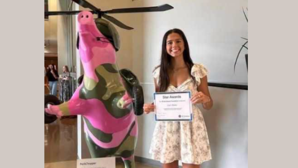 South Dearborn Grad Named Recipient of GE Aerospace Star Award and Scholarship
 The Burg Big Dill Announces $25 Competitor Flash Sale Ahead of July 25 Pickleball Festival
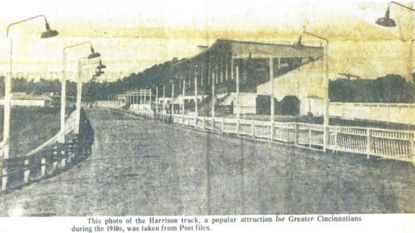 West Harrison’s Lost Racetrack: Monkey Jockeys & Gamblers


Comments
Add a comment