High temperatures will reach near 70 Thursday, but we'll pay a price.
Update published at 11:47 a.m.:
Some severe weather is possible Thursday. The National Weather Service has the tri-state under a Tornado Watch until 5:00 p.m.
Some severe storms moving through the region could bring an isolated tornado or some hail.
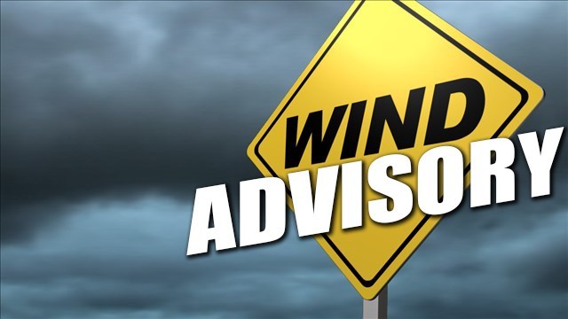
Damaging winds may also blow through with gusts up to 50 MPH. A Wind Advisory is in effect until 8:00 p.m.
[1050 AM] A tornado watch has been issued for parts of the @NWSILN area, including southeast Indiana, northern Kentucky, and southwest Ohio until 5 PM EDT. Further watches are expected to the east later today. pic.twitter.com/j9jXjyXTCB
— NWS Wilmington OH (@NWSILN) March 14, 2019
Original story published at 7:17 a.m.:
(Lawrenceburg, Ind.) - Winds will gust up to 50 MPH Thursday.
The National Weather Service says a Wind Advisory will be in effect for the tri-state from 11:00 a.m. until 8:00 p.m.
Winds will blow consistently between 15 and 25 MPH, with stronger gusts. Some scattered tree and power line damage is possible.
With a high temperature around 70, severe storms will be possible in the afternoon. The storms could include hail or tornadoes.
In addition to the wind and storms, some areas may also receive up to an inch of rain Thursday.
Here is when you can expect the greatest chance for severe weather to arrive today. pic.twitter.com/f7BbsUCxiZ
— NWS Wilmington OH (@NWSILN) March 14, 2019
 Missing 9-Year-Old Found Dead
 Canaan Boy Dies, Parents Injured When Tree Falls on Home During Storm
 Suspension Bridge Road Closed To All Truck Traffic
 Switzerland Co. BPA Shines at State Leadership Conference
 Utility Construction Project Begins in Aurora
 No Injuries in Versailles Fire